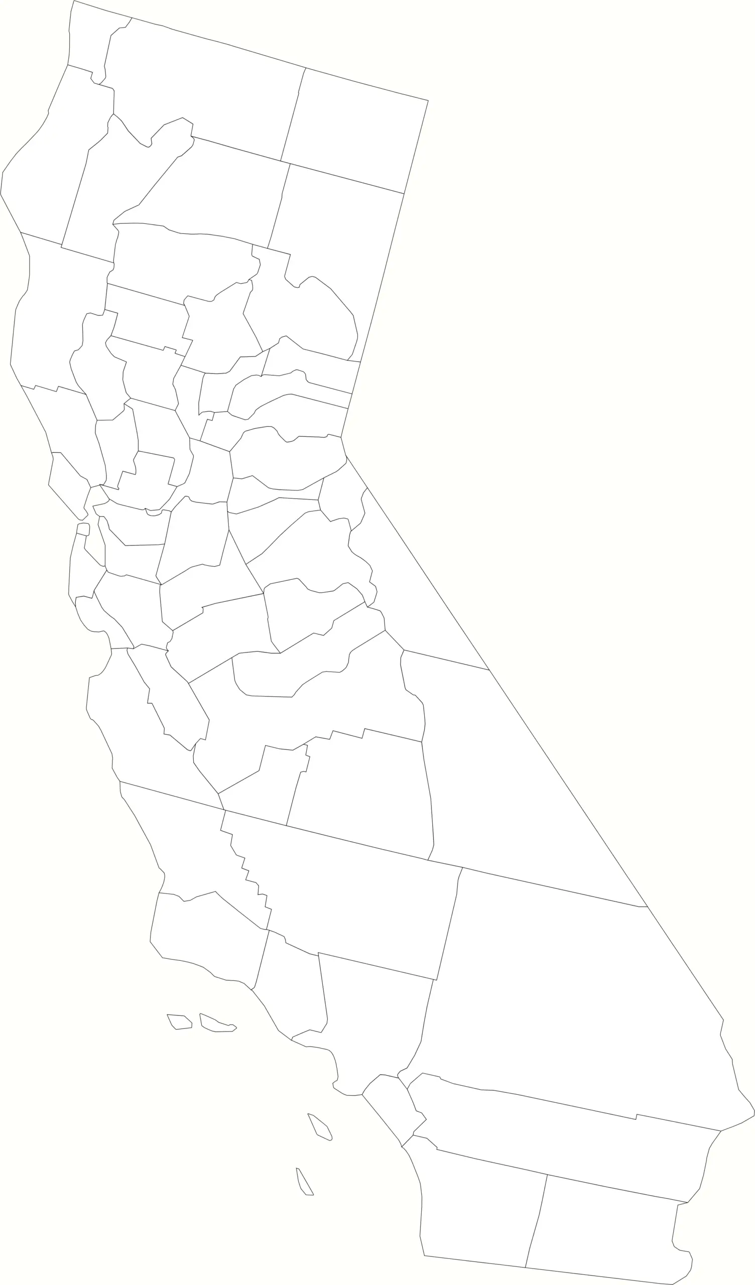
Looking for a blank map of California counties? You’ve come to the right place. This simple, printable California county map shows all 58 counties, outlined clearly with no labels — perfect for classrooms, geography projects, or anyone learning about California’s regional divisions.
Why Use a Blank California County Map?
A blank map gives you a clean canvas to:
- Label counties for school or educational use
- Highlight regions such as Northern, Central, or Southern California
- Plan trips or business areas by region
- Use in design or mapping projects
Whether you’re studying state geography or creating a custom data visualization, a blank California map with county outlines is the ideal starting point.
About California’s Counties
California is divided into 58 counties, ranging from the large, urban Los Angeles County to the wide open rural spaces of Modoc and Inyo. These counties serve as the primary local government divisions in the state, each with unique landscapes and populations.
Some of the most well-known counties include:
- Los Angeles County — the most populous county in the U.S.
- San Diego County — home to beautiful beaches and the U.S. Navy’s Pacific Fleet
- Orange County — known for Disneyland and coastal cities
- Sacramento County — California’s capital region
- San Francisco County — the smallest by land, but packed with history
Download or Use the Blank Map
Below is a blank outline map of California counties. You can:
- Right-click to save or print it
- Use it in projects, slides, or online content (with credit if possible)
- Add your own colors or labels in an image editor
If you need more California county maps visit our California map archive.


