Explore the United States Map with State Borders
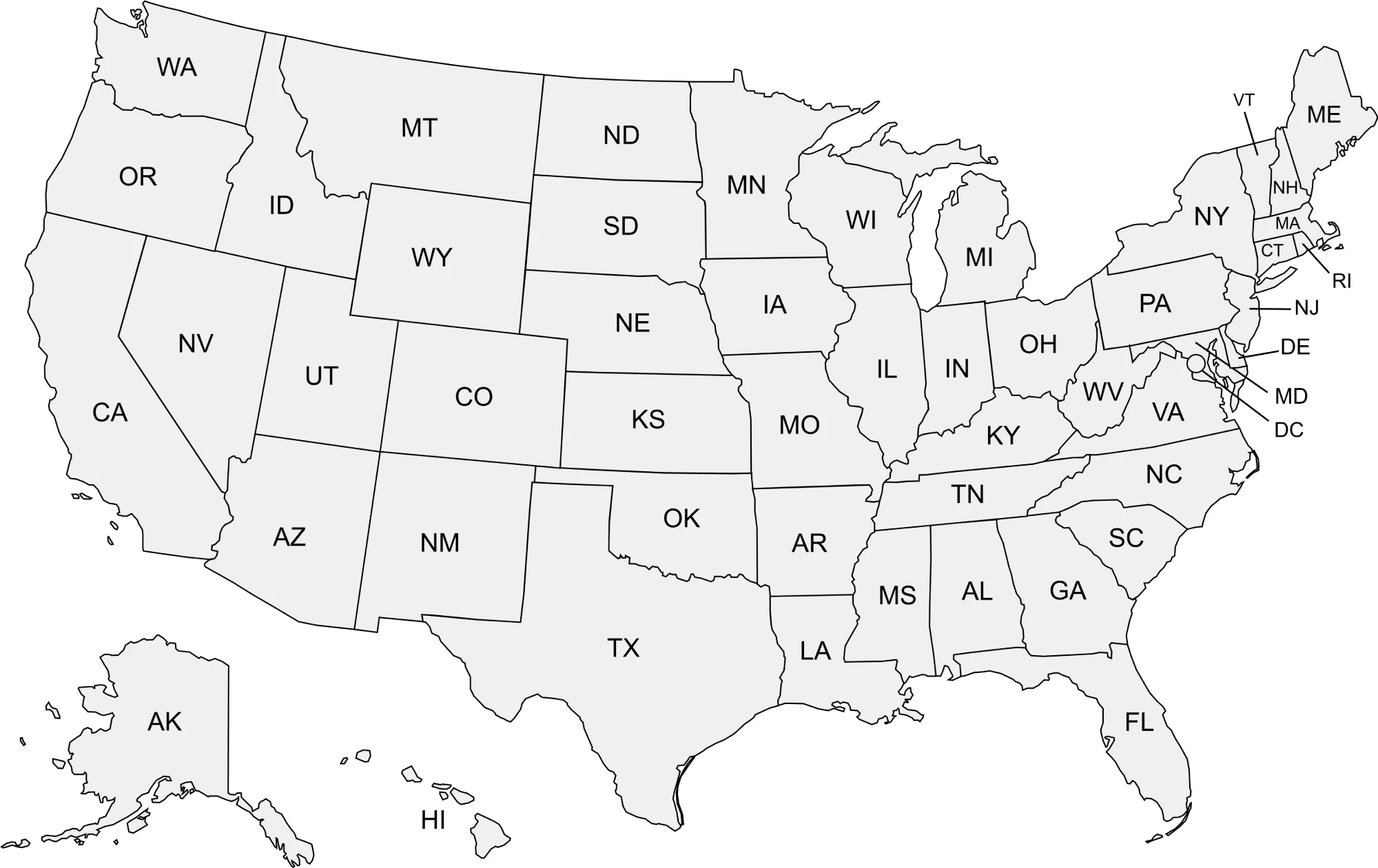
Looking for a clean, clear map of the United States with all state borders outlined? Whether you’re planning a road trip, teaching geography, or just curious about the country’s layout, a U.S. map with state outlines is a handy visual tool. It allows you to see each state’s shape, location, and how they connect to neighboring states.
The United States consists of 50 states, each with its own unique borders and geography. A map with clearly defined state boundaries can help you
Map of United States with State Borders
Complete List of U.S. States with 2026 Population Estimates
Explore the 2026 population estimates for all 50 U.S. states. This table provides a quick overview of each state’s population size and distribution.
| State | Population Estimate (2024) |
|---|---|
| Alabama | 5,079,000 |
| Alaska | 731,000 |
| Arizona | 7,702,000 |
| Arkansas | 3,079,000 |
| California | 39,455,000 |
| Colorado | 5,963,000 |
| Connecticut | 3,638,000 |
| Delaware | 1,018,000 |
| Florida | 22,466,000 |
| Georgia | 11,073,000 |
| Hawaii | 1,464,000 |
| Idaho | 1,941,000 |
| Illinois | 12,711,000 |
| Indiana | 6,855,000 |
| Iowa | 3,198,000 |
| Kansas | 2,929,000 |
| Kentucky | 4,522,000 |
| Louisiana | 4,641,000 |
| Maine | 1,371,000 |
| Maryland | 6,259,000 |
| Massachusetts | 7,033,000 |
| Michigan | 10,078,000 |
| Minnesota | 5,783,000 |
| Mississippi | 2,933,000 |
| Missouri | 6,187,000 |
| Montana | 1,147,000 |
| Nebraska | 1,981,000 |
| Nevada | 3,309,000 |
| New Hampshire | 1,402,000 |
| New Jersey | 9,321,000 |
| New Mexico | 2,117,000 |
| New York | 19,991,000 |
| North Carolina | 10,889,000 |
| North Dakota | 780,000 |
| Ohio | 11,710,000 |
| Oklahoma | 4,056,000 |
| Oregon | 4,301,000 |
| Pennsylvania | 12,992,000 |
| Rhode Island | 1,066,000 |
| South Carolina | 5,308,000 |
| South Dakota | 912,000 |
| Tennessee | 7,062,000 |
| Texas | 30,704,000 |
| Utah | 3,420,000 |
| Vermont | 643,000 |
| Virginia | 8,749,000 |
| Washington | 7,904,000 |
| West Virginia | 1,783,000 |
| Wisconsin | 5,900,000 |
| Wyoming | 587,000 |


